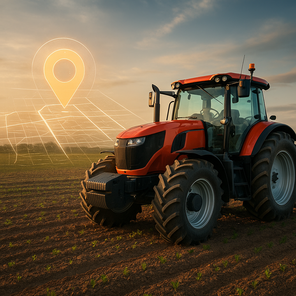
Modern agriculture is witnessing a remarkable transformation driven by the integration of advanced GPS systems into contemporary tractors. These innovations extend far beyond simple navigation, enabling farmers to achieve unparalleled levels of precision and efficiency in their daily operations. By harnessing satellite positioning, tractors now perform tasks with enhanced accuracy, reduced waste, and minimal environmental impact. The marriage of traditional farming equipment with cutting-edge tech has opened new possibilities for productivity and sustainability across diverse agricultural landscapes.
Advanced Auto-Steering Systems
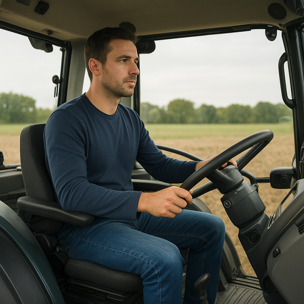
One of the most significant breakthroughs in modern tractors is the development of auto-steering technology powered by GPS. Traditional manual steering often leads to overlaps or missed swaths in the field, resulting in wasted inputs and uneven crop emergence. GPS-enabled guidance systems rectify these issues by automatically directing the tractor along preprogrammed paths with centimeter-level accuracy.
uHigh-Precision Path Tracking
Using Real-Time Kinematic (RTK) corrections, tractors can maintain straight or curved trajectories with deviations of less than two centimeters. This level of productivity ensures that every meter of the field receives equal attention, reducing seed overlaps and avoiding untreated gaps.
uHands-Free Operation
Auto-steer systems liberate operators from the constant need to concentrate on steering. Instead, they can focus on monitoring system performance, adjusting implements, or analyzing real-time data. The result is reduced operator fatigue and a lower risk of human error during long days in the field.
Precision Agriculture and Variable Rate Application
Integrating GPS with mapping software and soil sensors has ushered in the era of precision agriculture. Farmers now collect geospatial data on soil types, moisture levels, nutrient distribution, and crop health. This data is then processed to generate prescription maps that guide variable rate application (VRA) of inputs.
- Variable-Rate Seeding: Seed densities are adjusted on-the-go based on soil fertility and moisture. Higher densities are deployed in fertile zones, while drier or nutrient-poor areas receive reduced seeding, optimizing uniform emergence.
- Variable-Rate Fertilization: Using prescription maps, tractors equipped with VRA spreaders modulate fertilizer application rates. This targeted approach minimizes over-application, cutting costs and reducing nutrient runoff that can harm nearby watercourses.
- Variable-Rate Spraying: Pesticides and herbicides are applied only where needed. GPS coordinates trigger nozzles to open or close, minimizing chemical usage while maintaining effective pest control and weed management.
The combined effect of these practices is enhanced sustainability and resource conservation. Fields become dynamic mosaics of optimal input placement rather than homogenous zones treated uniformly. Farmers can track input efficiency, comparing yield responses against applied rates to refine future prescriptions.
Field Mapping and Yield Monitoring
Another transformative use of GPS in tractors involves mapping and monitoring crop performance. Modern harvesters and yield monitors record data in real time, associating yield amounts with precise field coordinates. This spatial yield information reveals productivity patterns, highlighting high-performing areas as well as zones needing attention.
uCreating High-Resolution Maps
Tractors equipped with GPS receivers and yield sensors generate detailed maps that illustrate the variability in crop output. These maps inform decisions for future seasons, such as adjusting irrigation layouts or implementing soil amendments in underperforming patches.
uHistorical Data Analysis
By storing multi-year yield records, farmers develop a longitudinal understanding of field performance. Seasonal trends emerge, indicating whether certain practices or crop rotations boost yields consistently in specific zones. This historical perspective supports strategic long-term management.
Remote Monitoring and Fleet Management
GPS is not limited to guiding a single tractor; it also connects an entire fleet through telematics platforms. Managers can monitor the location, speed, fuel consumption, and implement status of multiple machines simultaneously, ensuring optimal coordination during busy planting or harvest windows.
- Real-Time Alerts: If a tractor deviates from its assigned path or encounters a mechanical issue, the system sends immediate alerts. Quick interventions minimize downtime and prevent further complications.
- Route Optimization: Integrated GPS solutions plot the most efficient travel routes between fields, reducing transit time and fuel consumption. This improves overall efficiency and lowers operational costs.
- Maintenance Scheduling: Telematics data tracks engine hours and component wear. Proactive maintenance reminders help prevent breakdowns, ensuring tractors remain in top condition during critical periods.
The centralized management of field operations through GPS-based telematics promotes informed decision-making. Supervisors and agronomists can access dashboards displaying KPI metrics, allowing them to reassign tasks or adjust schedules based on real-time field conditions.
The Future of GPS in Tractors
Looking ahead, the role of GPS in modern tractors is set to expand further with integration of additional technologies. Combining GPS with artificial intelligence, drone imagery, and advanced sensors will elevate capabilities in crop scouting, automated weeding, and yield prediction.
Autonomous Farming Vehicles
Fully autonomous tractors leveraging GPS, onboard cameras, and LiDAR sensors will navigate fields without human intervention. These robotic machines will perform planting, cultivation, and harvesting tasks around the clock, maximizing operational windows and reducing labor dependency.
Enhanced Connectivity
5G networks and satellite internet will link tractors to cloud-based analytics platforms. Farmers will gain instant access to predictive models that forecast weather impacts, pest outbreaks, or nutrient deficiencies, enabling preemptive action.
Data-Driven Decision Support
Advanced software will synthesize GPS-derived location data with yield histories, soil samples, and market trends. The resulting insights will guide strategic crop selection, planting schedules, and supply chain logistics.
As GPS technology continues to evolve, modern tractors will become increasingly automated, connected, and intelligent, driving the next wave of agricultural innovation. These developments promise to deliver higher yields, lower input costs, and improved environmental stewardship, forging a smarter, more resilient future for global farming.